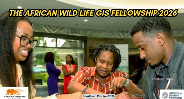
Call for The AWF Geospatial Leaders Fellowship 2026 is open now!!!
The African Wildlife Foundation (AWF) GIS Fellowship is an initiative crafted to empower the next generation of African Geospatial professionals dedicated to conservation. If you’re driven to use spatial data to protect biodiversity and guide sustainable development, this 10-month program is your launchpad. In partnership with ESRI, the fellowship delivers high impact technical training, real-world project experience, and personalized mentorship. Fellows will gain hands-on exposure to modern GIS tools and learn to design innovative solutions for Africa’s most urgent environmental and development challenges from mapping ecosystems to supporting climate adaptation strategies.
Get the Youth Opportunities iOS App here for the fully-funded opportunities.
At its core, the program is built on the philosophy that African conservation challenges require African-led technological solutions. For decades, much of the high-level spatial analysis for African ecosystems was conducted by external entities. This fellowship flips that narrative by equipping young African professionals with the sophisticated tools of Geographic Information Systems (GIS) and Remote Sensing. It moves beyond theoretical classroom learning, immersing participants in the practical realities of “geospatial conservation.” This involves using satellite imagery to track deforestation in real-time, mapping the migratory corridors of endangered species, and analyzing human-wildlife conflict hotspots to prevent future tragedies.
The fellowship is deeply rooted in the concept of “Spatial Literacy.” In a world where every hectare of land is contested, the ability to visualize data on a map is a powerful form of advocacy. By mastering these technologies, fellows become more than just technicians; they become strategic advisors. They learn to translate complex data into visual stories that can influence government policies, guide the creation of protected areas, and help local communities manage their resources more sustainably. The program emphasizes that a map is not just a drawing—it is a blueprint for survival in an era of ecological transition.
Youth Opportunities invites you to join your preferred channel to get the latest updates directly to your messenger inbox.
- Youth Opportunities: https://m.me/j/AbZTmgEzD1UchDte/
2. Fully Funded Conferences: https://m.me/j/AbZTfhFTiPCnXf2D/
3. Full Scholarships: https://m.me/j/AbbrjbkOMM6I68Cs/
4. Paid Internships/Jobs: https://m.me/j/AbaAskb6jFFnRser/
5. Circle: https://m.me/j/AbY0vVKSPJULUnE4/
Furthermore, the initiative addresses a critical gap in the professional landscape of the continent. While many young Africans possess degrees in environmental science or geography, they often lack access to the high-cost software and specialized high-performance computing required for global-standard GIS work. This program democratizes that access, providing a platform where innovation can flourish without financial barriers. It fosters a culture of precision, where conservation strategies are not based on guesswork but on hard, spatial evidence.
Ultimately, the AWF Geospatial Leaders Fellowship is about sovereignty and sustainability. By cultivating a network of experts who can navigate the digital landscape as effectively as the physical one, AWF is ensuring that the future of Africa’s biodiversity is secured by those who understand it best. It is a commitment to a future where technology serves the earth, and where the next generation of African leaders has the digital tools necessary to safeguard their natural heritage for centuries to come.
Location:
OnlineBenefits
- Intensive hands-on training in Geographic Information Systems (GIS) and Remote Sensing software.
- Practical experience using satellite imagery, drone data, and spatial analysis to solve wildlife and habitat conservation challenges.
- Gain access to industry-standard GIS tools and licenses required for high-level environmental mapping.
- Direct guidance from senior GIS experts, data scientists, and experienced conservationists at the African Wildlife Foundation (AWF).
- Opportunity to work on real-world conservation projects, applying spatial technology to monitor deforestation and wildlife movement.
- Connection to a specialized pan-African network of GIS professionals and environmental researchers.
- Enhancement of technical credentials, making participants highly competitive for roles in environmental tech, urban planning, and resource management.
Eligibilities
- You are between the age of 18- 35 years old and a citizen of any of the following eligible countries
- You work with an organization that has clear needs and opportunities for GIS applications, such as a government agency, NGO, conservancy, or research institution.
- You hold a degree in GIS, Geography, Environmental Science, Natural Resource Management, or a related field.
- You have at least two years of experience in GIS or the environmental sector.
- You are actively championing conservation, whether through action, project implementation, research, or policy initiatives. (Priority consideration will be given to candidates and organizations working on projects that directly benefit landscapes.)
Application Process
- Click the Apply Now button, You’ll be prompted to CREATE AN ACCOUNT.
- Use your official name and a reachable email address to set up your account.
- Once you’re in, begin your application. You can save your progress and log back in anytime using your email and password.
Application Deadline: January 15, 2026 (23 Days Remaining)
Apply nowOfficial link